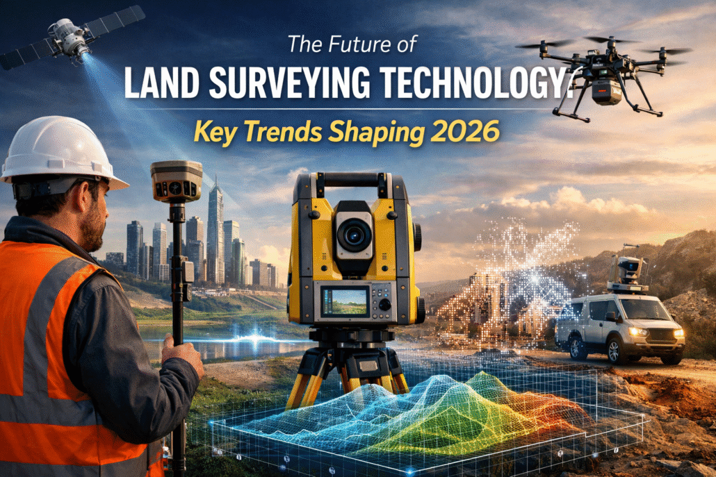
The Future of Land Surveying Technology: Key Trends Shaping 2026

The surveying profession stands at a technological crossroads that would have seemed like science fiction just a decade ago. Autonomous drones equipped with multiple sensors simultaneously capture terrain data while artificial intelligence systems process millions of data points in seconds, and real-time 3D digital twins allow stakeholders thousands of miles away to explore construction sites […]
The Future of Land Surveying Technology: Key Trends Shaping 2026
The surveying profession stands at a technological crossroads that would have seemed like science fiction just a decade ago. Autonomous drones equipped with multiple sensors simultaneously capture terrain data while artificial intelligence systems process millions of data points in seconds, and real-time 3D digital twins allow stakeholders thousands of miles away to explore construction sites […]
GIS Integration for Smarter Property Surveys: Overlaying Data for Better Decision-Making
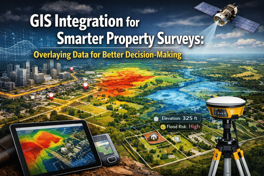
The property surveying industry stands at a technological crossroads in 2026. While traditional methods served professionals well for decades, the sheer volume of data now available—from zoning regulations and utility networks to environmental constraints and demographic trends—demands a more sophisticated approach. GIS Integration for Smarter Property Surveys: Overlaying Data for Better Decision-Making represents the evolution […]
Mobile 3D Mapping: Creating Digital Twins of Properties Without Bulky Equipment

The property surveying industry stands at a technological crossroads in 2026. While traditional 3D mapping methods have delivered accurate results for decades, they've also demanded heavy equipment, lengthy setup times, and significant operational disruptions. Mobile 3D mapping is revolutionizing this landscape, enabling surveyors and property professionals to create comprehensive digital twins without the constraints of […]
Revolutionizing Land Surveys: How Drone Technology and UAVs Are Transforming Property Mapping in 2026
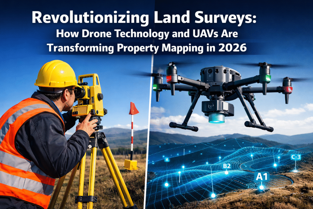
The property surveying industry is experiencing its most dramatic transformation in decades. What once required teams of surveyors spending weeks in the field with traditional equipment can now be accomplished in hours by a single operator with an unmanned aerial vehicle (UAV). Revolutionizing Land Surveys: How Drone Technology and UAVs Are Transforming Property Mapping in […]
AI and Machine Learning in Property Surveying: Predicting Risks and Automating Data Analysis

The property surveying profession stands at a technological crossroads in 2026. Imagine a surveyor who can predict flood risks months before they materialize, detect subtle terrain shifts invisible to the human eye, and process years of property data in mere seconds. This isn't science fiction—it's the reality of AI and Machine Learning in Property Surveying: […]
3D Laser Scanning in Property Surveying: Achieving Unmatched Accuracy for Construction Projects

The construction industry stands at a technological crossroads in 2026, where precision can mean the difference between project success and costly rework. Imagine capturing millions of precise measurements of an entire building complex in just hours—measurements so accurate they detect structural movements of mere millimeters. This isn't science fiction; it's the reality of 3D Laser […]
Real-Time Data Collection and Cloud-Based Surveying Services: The Shift to Remote Operations

The surveying industry stands at a transformative crossroads in 2026. What once required weeks of manual fieldwork, physical data transfer, and lengthy processing cycles now happens in real time through cloud-connected devices that stream survey data directly to stakeholders thousands of miles away. Real-Time Data Collection and Cloud-Based Surveying Services: The Shift to Remote Operations […]
GIS Integration in Modern Surveying: Centralizing Data and Enhancing Decision-Making

The surveying profession stands at a technological crossroads in 2026. Traditional methods that once relied on isolated data points and disconnected workflows are rapidly giving way to integrated digital ecosystems where Geographic Information Systems (GIS) serve as the central nervous system. This transformation isn't merely about adopting new software—it represents a fundamental shift in how […]
AI and Machine Learning in Surveying: Automating Data Analysis and Predicting Risks

The surveying profession stands at a transformative crossroads in 2026. Imagine processing weeks of complex terrain data in mere minutes, or predicting landslide risks before ground movement begins. This isn't science fiction—it's the reality of AI and Machine Learning in Surveying: Automating Data Analysis and Predicting Risks. As surveying firms face mounting pressure for faster […]