

Last updated: July 24, 2026
Quick Answer: To find the boundary of your property, start with your Land Registry title plan and property deeds, then look for physical boundary markers such as pegs, fences, or walls on site. For legal certainty, especially before building work or a dispute, commission a professional boundary survey from a chartered surveyor.
Key Takeaways
- Land Registry title plans show general boundaries only and are not legally precise measurements.
- Property deeds and conveyance documents often contain the most detailed boundary descriptions.
- Physical boundary pegs (metal pins driven into the ground) mark surveyed lines and can be located with a metal detector.
- A professional boundary survey typically costs between £500 and £2,000 in the UK, depending on plot size and complexity.
- Google Maps and GPS apps can give a rough orientation but are not legally reliable for boundary determination.
- If a neighbour disputes a boundary, a chartered surveyor's report carries significant weight in mediation or legal proceedings.
- Missing or damaged markers do not erase the legal boundary; a surveyor can re-establish it from historic records.
- Resolving boundary disputes early is far cheaper than litigation, which can run into tens of thousands of pounds.
What Is a Property Boundary and Why Does It Matter?
A property boundary is the legally defined line that separates one person's land from another's. It determines what you own, what you can build on, and who is responsible for maintaining fences, walls, and hedges.
Boundary clarity matters in several practical situations:
- Planning and building work (extensions, outbuildings, driveways)
- Buying or selling a property
- Neighbour disputes over encroachment or maintenance
- Mortgage valuations and conveyancing searches
Knowing how to find property boundary lines before any of these events saves time, money, and stress.
Are Land Registry Title Plans Exact?
Land Registry title plans are not exact measurements of your boundary. They are based on Ordnance Survey maps at scales of 1:1,250 (urban) or 1:2,500 (rural), which means a line on the plan can represent a real-world distance of 1 to 2.5 metres. The Land Registry itself states that title plans show the "general boundary" only, not the precise legal boundary.
This is a critical distinction. Title plan accuracy is sufficient for identifying which plot you own, but not for resolving disputes to the centimetre. For that level of precision, a measured boundary survey is required.
"The title plan is a starting point, not a finishing line. It tells you roughly where your land is, not exactly where it ends."
How to Find the Boundary of My Property Using Deeds and Documents
Your property deeds are the most important document for understanding your boundary. For properties sold before 2003, the original conveyance deed often contains a hand-drawn plan and written description of the boundary, sometimes referencing specific features like a wall, hedge, or fence.
Steps to locate your boundary using documents:
- Download your title register and title plan from the Land Registry website (gov.uk) for £3 each.
- Check for any "filed plan" or "general boundary" notes in the register.
- Request historic conveyance documents from your solicitor or the Land Registry if the property was registered before 1990.
- Look for references to "T-marks" on plans, which indicate which party owns and maintains a boundary feature.
- Cross-reference the written description in the deed with what exists on the ground today.
If your deeds reference a feature (such as "the north face of the brick wall"), that feature's physical position defines the boundary, regardless of what the title plan appears to show.
What Are Property Pegs and How Do You Locate Them?
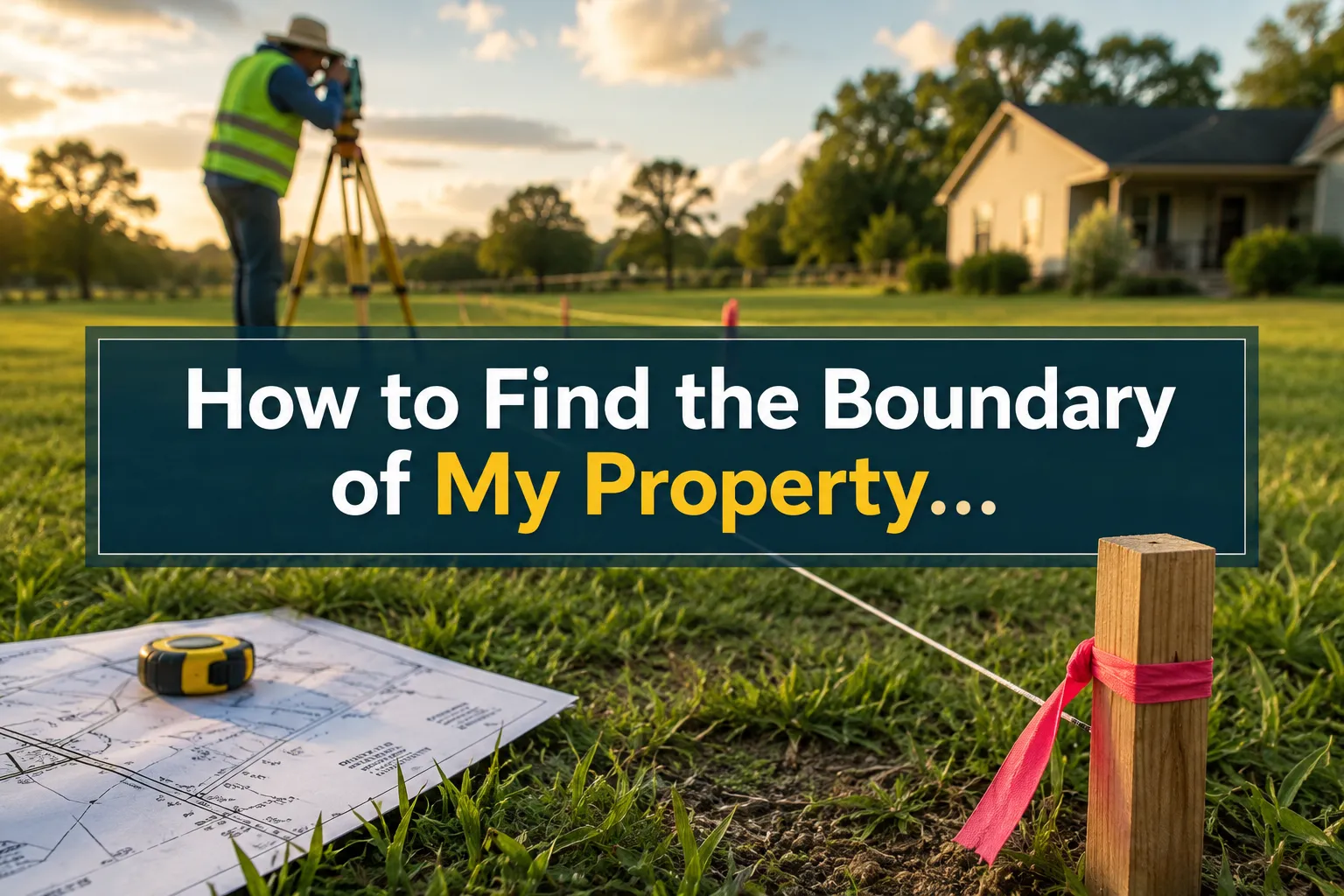
Property pegs are metal pins or stakes driven into the ground by a surveyor to mark the exact corners and turning points of a legally surveyed boundary. They are the most precise physical evidence of where a boundary lies.
Pegs are typically made of iron or steel rebar and are buried just below ground level, often capped with a coloured plastic marker. Over time they can be covered by soil, turf, or paving.
How to find boundary pegs yourself:
- Hire or borrow a metal detector and sweep the ground at the approximate corner points shown on your title plan.
- Check near fence posts, wall corners, and hedge lines, as surveyors typically place pegs at these junctions.
- Look for small plastic caps or disturbed ground at plot corners.
If pegs cannot be found, a surveyor can re-establish their positions from original survey data or historic records.
Can I Find My Property Boundary Markers Myself?
Yes, you can carry out an initial search yourself, but with important limitations. Using a metal detector, your title plan, and your deeds, a diligent homeowner can often locate boundary pegs and identify likely boundary features. This is a reasonable first step before spending money on a professional.
However, self-identification of a boundary is not legally binding. If you are planning construction, dealing with a dispute, or about to exchange contracts on a sale, a chartered surveyor's measured survey is the only method that carries legal weight.
Do it yourself if: you want a rough check before a fence replacement or minor garden work.
Hire a professional if: you are building an extension, selling the property, or a neighbour has challenged your boundary position.
Can I Use Google Maps or GPS to Find My Property Boundary?
Google Maps and consumer GPS apps are not reliable tools for finding property boundary lines. Google Maps imagery is not updated frequently enough for boundary purposes, and its spatial accuracy can vary by several metres. Consumer GPS devices typically have an accuracy of 3 to 5 metres, which is far too imprecise for boundary work.
These tools are useful for getting a general sense of your plot's shape and orientation, but should never be used as evidence in a dispute or to mark out a boundary before construction.
Professional surveyors use GPS equipment calibrated to sub-centimetre accuracy, combined with Ordnance Survey control points and historic survey data, to produce legally defensible measurements.
How Surveyors Determine the Legal Boundary
A chartered surveyor determines the legal boundary by combining documentary evidence with precise physical measurement. The process typically involves:
- Reviewing the title register, title plan, and any historic conveyance documents.
- Examining the physical features on site (walls, fences, hedges, pegs).
- Taking measured survey readings using total station or GPS equipment.
- Comparing findings against Ordnance Survey data and neighbouring title plans.
- Producing a scaled boundary survey report with a measured plan.
Where documentary and physical evidence conflict, the surveyor applies legal principles of boundary interpretation, which may require review by a specialist. In contested cases, a surveyor may also prepare an expert witness report for use in court or mediation.
What Does a Measured Boundary Survey Cost?
A boundary survey in the UK typically costs between £500 and £2,000 for a standard residential plot, based on industry estimates for 2026. The final figure depends on:
- Plot size and shape complexity
- Volume of historic documents to review
- Whether the boundary is disputed
- Location (London and the South East tend to attract higher fees)
A dispute-related boundary survey with an expert witness report will cost more, often £1,500 to £3,500 or above. This is still considerably less than the average boundary dispute legal case, which the Royal Institution of Chartered Surveyors (RICS) has noted can cost both parties tens of thousands of pounds if it reaches court.
For properties with complex structures or difficult access, a drone survey can supplement ground-level measurements and produce accurate aerial boundary mapping.
What Happens If Boundary Markers Are Missing or Damaged?
Missing or damaged boundary markers do not erase the legal boundary. The boundary still exists; it simply needs to be re-established from documentary and historic evidence.
A surveyor will use the original survey data (if available), the title plan, neighbouring boundaries, and physical features to reconstruct the boundary's position. In some cases, the Land Registry's boundary dispute process or a determined boundary application can formally fix the line on the register.
If you are unsure who is responsible for a particular fence or wall along a boundary, this guide on boundary fence responsibility explains the legal position in plain terms.
What to Do If a Neighbour Disagrees About the Boundary Line
Boundary disputes are among the most common and costly property disagreements in England and Wales. If a neighbour challenges your boundary position, take these steps in order:
- Gather your title documents and any historic photographs or plans.
- Commission an independent boundary survey from a RICS-registered surveyor.
- Share the survey findings with your neighbour and invite them to commission their own survey.
- If findings differ, consider mediation before any legal action.
- As a last resort, apply to the Land Registry for a determined boundary or pursue a court claim.
Early professional advice is almost always cheaper than litigation. A surveyor's measured report frequently resolves disputes without any court involvement.
How to Find the Boundary of My Property Without Hiring a Surveyor
The cheapest approach to finding property boundary lines without a professional involves three free or low-cost steps:
- Land Registry title plan: Download for £3 at gov.uk/search-property-information-land-registry.
- Historic deeds: Ask your conveyancing solicitor for copies of the original conveyance documents.
- Physical inspection: Walk the boundary, look for pegs, note the position of fences and walls, and compare against the title plan.
This approach is adequate for general awareness and low-stakes decisions. It is not adequate for planning applications, sale conveyancing, or any situation where the boundary position is disputed.
How Often Do Property Boundaries Need to Be Re-Surveyed?
Property boundaries do not expire and do not need routine re-surveying. The legal boundary is fixed unless formally changed through a Land Registry application or a boundary agreement between neighbours.
Re-surveying becomes necessary when:
- Physical markers have been removed or disturbed
- A dispute arises about the boundary's position
- You are planning construction close to the boundary
- The property has not been surveyed since registration
For most homeowners, a single accurate survey at the point of purchase or before a major project is sufficient.
FAQ
Q: Does my Land Registry title plan show the exact boundary of my property?
No. Land Registry title plans show the general boundary only, based on Ordnance Survey maps. They are not precise legal measurements and can be inaccurate by 1 to 2.5 metres in real-world terms.
Q: How do I get a copy of my property survey?
Download your title register and title plan from the Land Registry at gov.uk for £3 each. For older survey documents, contact your solicitor or request filed documents from the Land Registry directly.
Q: What is a T-mark on a property plan?
A T-mark on a boundary plan indicates that the owner of the land on whose side the T falls is responsible for maintaining that boundary feature (fence, wall, or hedge).
Q: Can a neighbour move a boundary fence without my permission?
No. Moving a fence beyond the legal boundary constitutes encroachment on your land. If this happens, document it with photographs and seek legal advice promptly.
Q: How long does a boundary survey take?
A standard residential boundary survey typically takes one to three days for the site visit and report preparation, depending on plot complexity and the volume of documents to review.
Q: Is a boundary survey the same as a building survey?
No. A boundary survey establishes the precise legal extent of a plot. A building survey assesses the structural condition of a property. They are distinct services, though both are carried out by chartered surveyors.
Conclusion
Finding the boundary of your property starts with your Land Registry title plan and deeds, but those documents alone rarely give the precision needed for building work, sales, or disputes. Physical boundary pegs, when present, provide the most reliable on-the-ground evidence. Where clarity is genuinely needed, a measured boundary survey from a RICS-registered chartered surveyor is the only approach that carries legal weight.
Actionable next steps:
- Download your title plan and register from the Land Registry today (£3 each).
- Retrieve your original conveyance deeds from your solicitor.
- Walk your boundary and note existing features against the plan.
- If any doubt remains, commission a professional boundary survey before spending money on construction or legal fees.
Book a boundary survey – 0204 579 8270
.cg-wrap{font-family:Arial,sans-serif;max-width:480px;margin:2rem auto;background:#f4f7fb;border-radius:10px;padding:24px;box-sizing:border-box;border:1px solid #d0daea}
.cg-wrap h2{font-size:1.1rem;color:#1a2e4a;margin:0 0 16px}
.cg-label{display:block;font-size:.85rem;color:#334;margin:10px 0 4px;font-weight:600}
.cg-select,.cg-radio-group{width:100%;padding:8px;border:1px solid #b0bdd0;border-radius:6px;font-size:.9rem;background:#fff;box-sizing:border-box}
.cg-radio-group{display:flex;gap:12px;border:none;padding:0}
.cg-radio-group label{font-size:.85rem;color:#334;font-weight:400;cursor:pointer}
.cg-btn{margin-top:16px;width:100%;padding:11px;background:#1a2e4a;color:#fff;border:none;border-radius:7px;font-size:.95rem;font-weight:700;cursor:pointer}
.cg-btn:hover{background:#2a4a72}
.cg-result{margin-top:16px;background:#fff;border-radius:8px;padding:14px;border:1px solid #c8d8ea;display:none}
.cg-result p{margin:4px 0;font-size:.88rem;color:#334}
.cg-result .cg-range{font-size:1.2rem;font-weight:700;color:#1a2e4a}
.cg-note{font-size:.75rem;color:#778;margin-top:8px}
Boundary Survey Cost Estimator (UK 2026)
Estimated cost range:
Estimates based on 2026 UK industry ranges. Actual quotes may vary. Always obtain at least two quotes from RICS-registered surveyors.
function cgCalc(){
var size=parseInt(document.getElementById(‘cg-size’).value);
var dispute=document.querySelector(‘input[name=”cg-dispute”]:checked’).value;
var loc=parseInt(document.getElementById(‘cg-loc’).value);
var base=[[500,900],[700,1400],[1000,2000],[1500,3000]];
var lo=base[size-1][0],hi=base[size-1][1];
if(dispute===’yes’){lo+=600;hi+=1500;}
if(loc===2){lo=Math.round(lo*1.25);hi=Math.round(hi*1.25);}
document.getElementById(‘cg-range’).textContent=’£’+lo.toLocaleString()+’, £’+hi.toLocaleString();
var note=dispute===’yes’?’Includes allowance for expert witness report preparation.’:’Standard measured boundary survey only.’;
document.getElementById(‘cg-detail’).textContent=note;
document.getElementById(‘cg-result’).style.display=’block’;
}
Tags: property boundary, how to find property boundary lines, boundary survey, Land Registry title plan, boundary pegs, boundary dispute, chartered surveyor, title plan accuracy, property deeds, boundary markers, UK property, RICS surveyor